
Land east of Aldermaston Road,
Sherborne St John
Site Context
The land east of Aldermaston Road is approximately nine hectares of agricultural land, bounded to the north by homes on Sireburne Close, to the north-east by homes on Spring Close, to the south-east by other agricultural land and to the west by Aldermaston Road.
The site is largely free of constraints that might make it unsuitable for development – it is relatively flat (rising gently from north to south), entirely within Flood Zone 1 (low risk), has no environmental designations and lies outside the Sherborne St John Conservation Area.
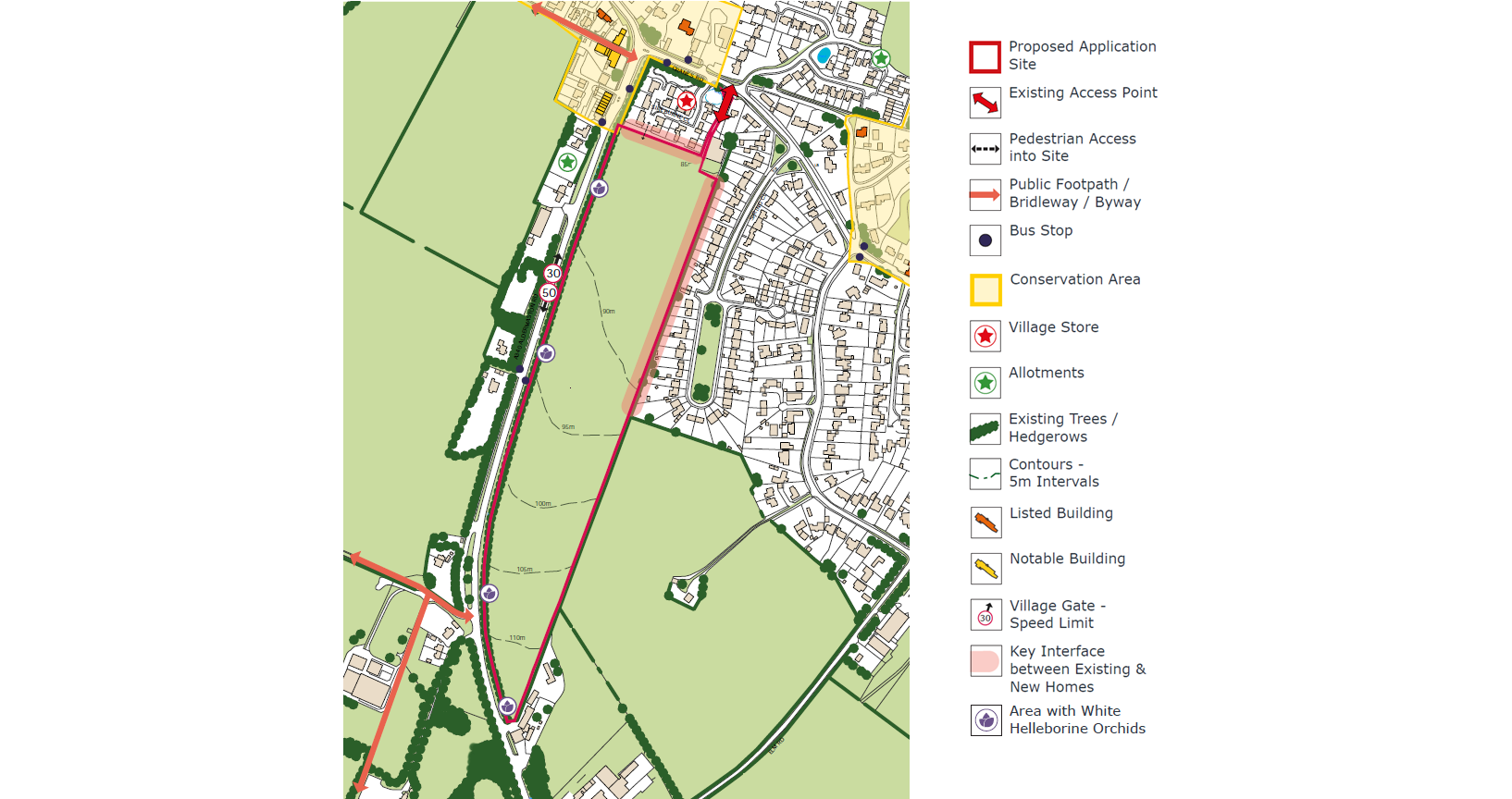
A plan of the site showing potential constraints and opportunities
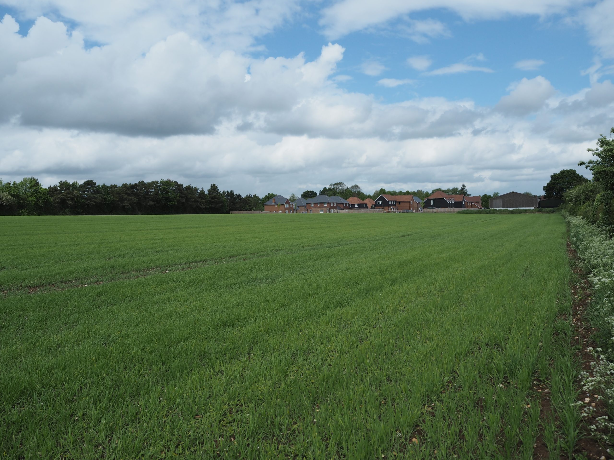
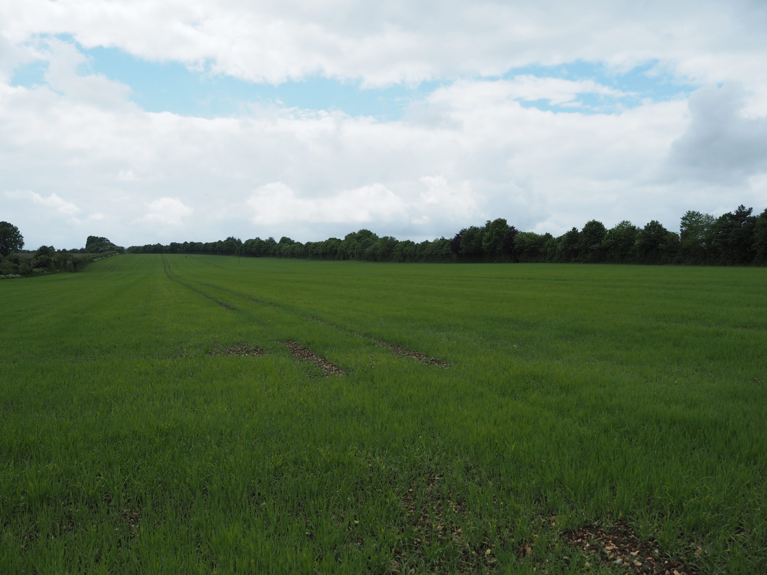
Photographs taken within the site, looking north (left) and looking south (right)
The site also benefits from a thick tree belt along its western boundary, screening the site from Aldermaston Road.
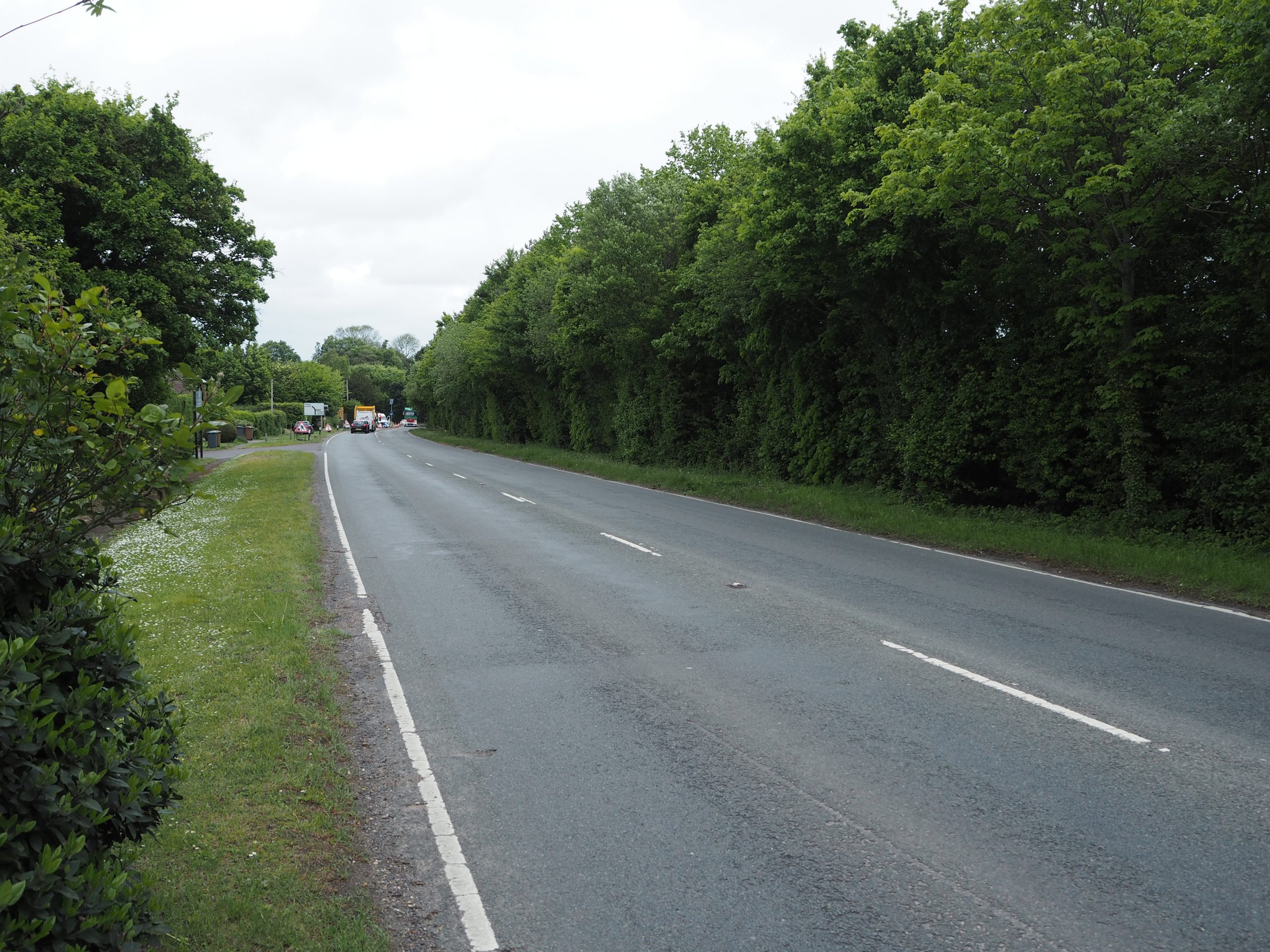
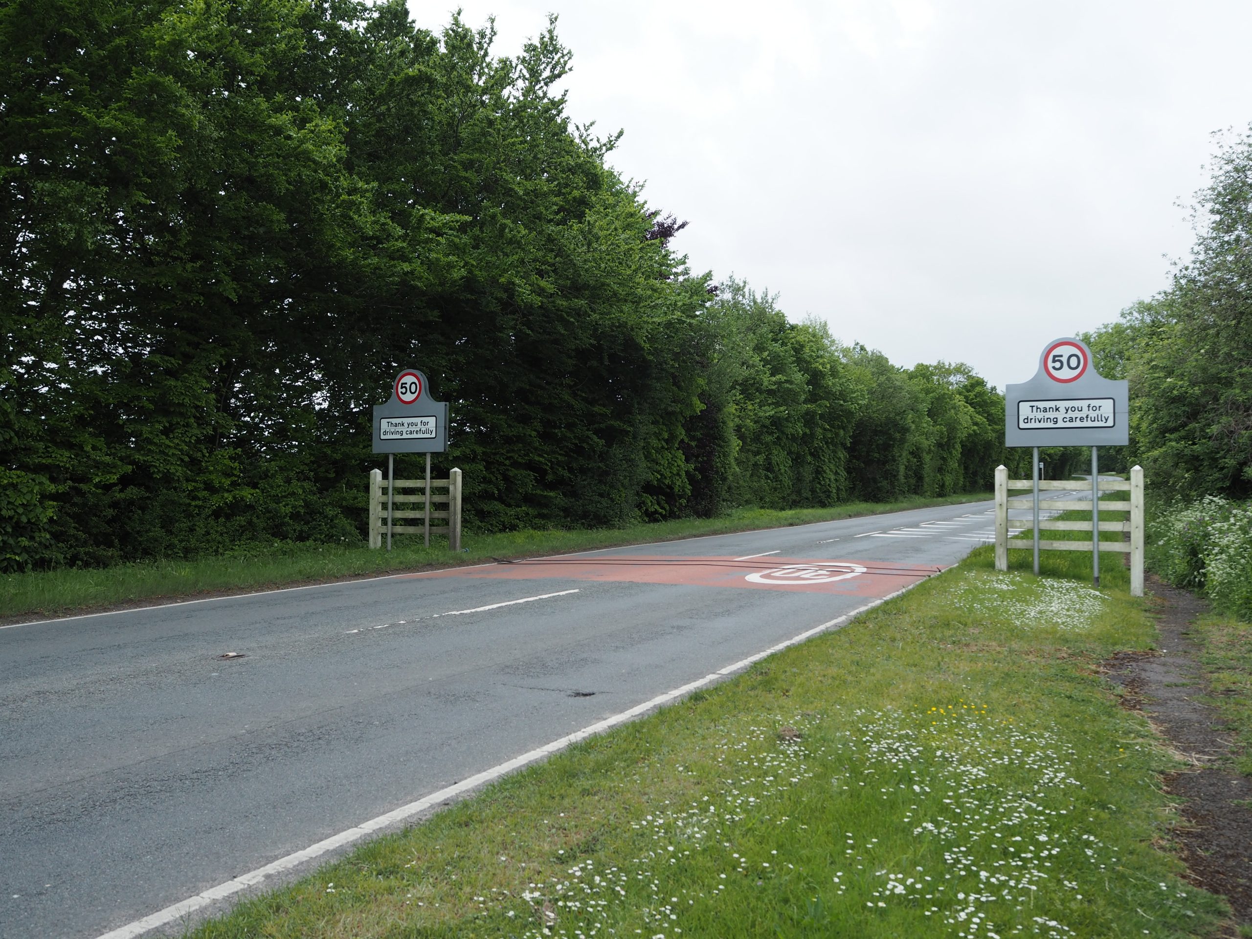
Photographs of the tree belt along the site’s western boundary, taken from Aldermaston Road looking north (left) and looking south (right)
Access to the site is currently provided from Cranes Road to the north; however, as part of our proposals, a new vehicular access to the site would be provided directly from Aldermaston Road, with the Cranes Road access kept in place only for pedestrians and cyclists.
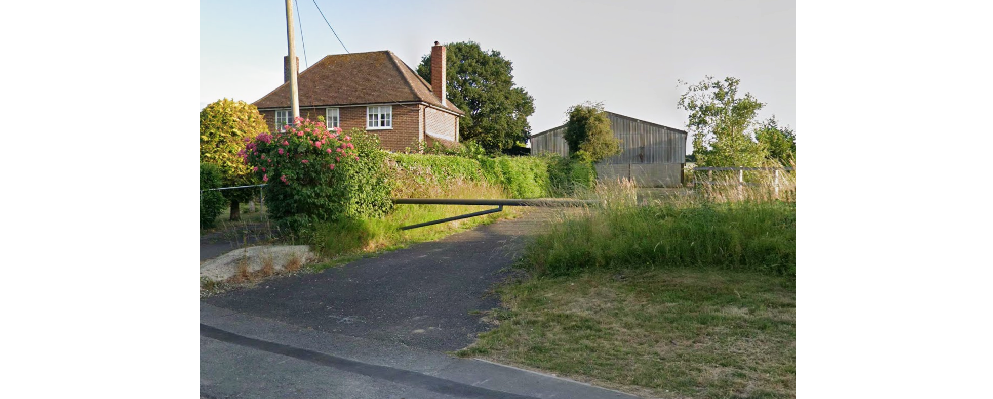
The existing access to the site from Cranes Road (image courtesy of Google Maps)
Contact Us
If you have any queries, please contact Charlotte Matthews of SP Broadway on
07503 201 876 or at charlotte@spbroadway.com